Robert
Weather Analyst
Reged: Sat
Posts: 364
Loc: Southeast, FL
|
|
Cut off low pushing south west through eastern gulf of mexico, into Northwestern caribbean, yucatan.
Getting to time of year to watch this area for development from, waves, to troughs, also pacific crossing storms although rare.
Not expecting anything from this, should die out over land. Expect repeats as troughs dig down, in Fall.
I'm personally expecting the 2nd week of october to start getting extremely active here
It has been eight years since a mature hurricane moved through the area, rina in 2011, only birthed storms since.
So much warm water its spilling out through the bahamas, and fueling the storms in the southwest Atlantic.
With the northwest Bahamas, and adjacent area the area to be this year, with persistent upper trough combo over southeast united states, now in neutral phase of pacific oscilation.
Personally expecting a major to lay down in the northwestern caribbean this, fall, if not this fall then next year in a neutral-lanina could be a bad year all around in the gulf of mexico.
Expecting october with another round of to deliver a taste, cuba, keys-southflorida,Bahamas.
Edited by Robert (Thu Sep 19 2019 11:44 AM)
|
Keith B
Weather Hobbyist
Reged: Sun
Posts: 57
Loc: FL, Orange County
|
|
Cut off low pushing southwest through the eastern Gulf of Mexico, into Northwestern Caribbean, Yucatan.
Getting to time of year to watch this area for development from, waves, to troughs, also pacific crossing storms although rare.
Not expecting anything from this, should die out over land. Expect repeats as troughs dig down, in Fall.
I'm personally expecting the 2nd week of october to start getting extremely active here
> From the above?
It has been eight years since a mature hurricane moved through the area, rina in 2011, only birthed storms since.
So much warm water its spilling out through the bahamas, and fueling the storms in the southwest Atlantic.
With the northwest Bahamas, and adjacent area the area to be this year, with persistent upper trough combo over southeast united states, now in neutral phase of pacific oscilation.
> I have read the info from IRI (International Research Institute and CPC) that we are in a neutral phase. This supports an environment where tropical system will not have El Nino issues.
Personally expecting a major to lay down in the northwestern caribbean this, fall, if not this fall then next year in a neutral-lanina could be a bad year all around in the gulf of mexico.
> Are you saying that a major hurricane could affect the crib and then GOM area? Makes sense, serious hot water for fuel.
Expecting october with another round of to deliver a taste, cuba, keys-southflorida,Bahamas.
> Into October, from previous Advance Skywarn training, that tropical system could affect the above areas. If the and other patterns enhance the ability for development.
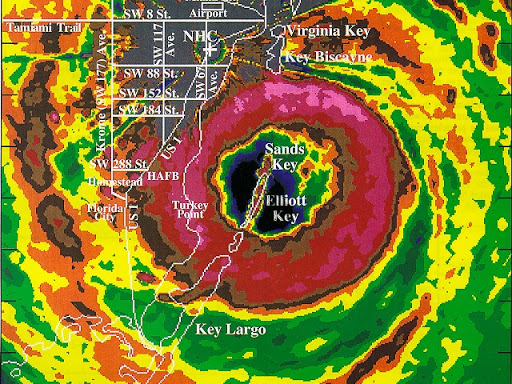
Also, what is the attached pic of? I am not understanding what I am seeing.
Thanks,
--------------------
Keith Boyer N4TRN
Orange County ARES
Asst. Emerg. Coord. (AEC) Skywarn Orange County, FL
http://www.ocares.org/
|
IsoFlame
Weather Analyst

Reged: Wed
Posts: 295
Loc: One block off the Atlantic Oce...
|
|
Quote:
Northwestern caribbean, yucatan. Getting to time of year to watch this area for development from waves to troughs. I'm personally expecting the 2nd week of october to start getting extremely active here. It has been eight years since a mature hurricane moved through the area, rina in 2011, only birthed storms since.
So much warm water its spilling out through the bahamas, and fueling the storms in the southwest Atlantic. With the northwest Bahamas, and adjacent area the area to be this year, with persistent upper trough combo over southeast united states, now in neutral phase of pacific oscilation.
Personally expecting a major to lay down in the northwestern caribbean this, fall, if not this fall then next year in a neutral-lanina could be a bad year all around in the gulf of mexico. Expecting october with another round of to deliver a taste, cuba, keys-southflorida,Bahamas.
No need to start a new post regarding the above excerpts from Robert's Sept 19th post. MRF models starting to hit on a strong system ejecting out of the NW Caribbean across western Cuba then S Fla late in the first week in October. Plenty of SST fuel available in this region and the entire GOMEX if early fall atmospheric conditions become favorable.
--------------------
CoCoRaHS Weather Observer (FL-VL-42) & Surf Forecaster: https://www.surf-station.com/north-florida-surf-forecast-3/
|
|
 Threaded


