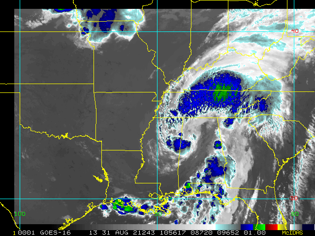
7:45AM CDT 31 August 2021 Update
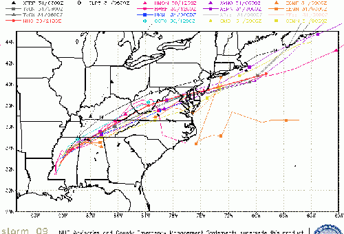
Hurricane Ida made landfall at 11:55AM in Port Fourchon, Louisana. Creating a massive surge, particularly along the islands, and western sides of lake Ponchartrain as well as other areas, a lot of wind damage, including very widespread power outages, and flooding rainfall even well inland.
Some of these areas, including metro New Orleans areas, may be without power and services for days, other areas may be out for weeks.
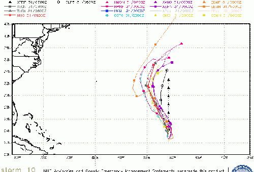
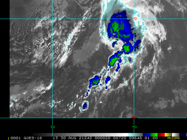
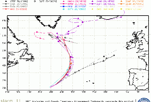
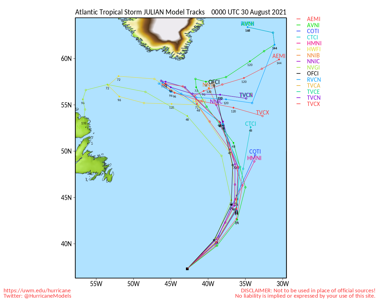
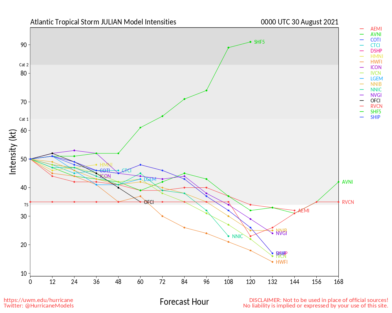
Julian formed and dissipated quickly.
5:45AM CDT 29 August 2021 Update
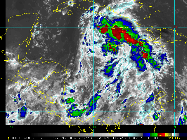
Recon just nailed a more targeted pass through Ida's eye and it appears pressure is now down to about 935/936mb with max winds of 150 MPH or so. Apparently still deepening heading into landfall. Now less than 10 MPH away from Cat 5 if this passes QC.
-Ciel
12:45AM CDT 29 August 2021 Update
Ida has become a still-intensifying Major Hurricane, the second Major of the 2021 Atlantic Hurricane Season, and earliest forming second Major Hurricane in the basin since 2005.
-Ciel
4:45PM CDT 28 August 2021 Update
The most recent recon mission is finding that pressure is quite a bit lower than earlier today, but also that the hurricane is expanding quite a bit in size. This has resulted in the maximum sustained winds not being quite as high as they could otherwise be immediately around the center, but rather still dangerously strong over a larger area. This will result in a longer duration of damaging winds over a larger area, as opposed to a fast and furious blast as seen in smaller intense hurricanes that almost feel more like riding through a ginormous tornado but only if within a few tens of miles of exact landfall location. It will also unfortunately result in potential for even more significant storm surge, and dangerous storm surge covering a wider area.
It is not yet clear whether the expanding size vs intensifying inner core phase is continuing or ending. It could also alternate into landfall. Either way, the safe thing to do is to prepare for a very long duration of damaging and locally catastrophic wind and flooding rain event, and if near water - an expansive, long lasting, deadly storm surge.
One final note, there has been a trend this afternoon for Ida to be tracking to the right side of the forecast cone. This highlights the need for those within the entire cone to be prepared for the worst, while hoping for the best. And always, the worst of hurricane impacts can occur well away from its center.
-Ciel
10:30AM CDT 28 August 2021 Update
Hurricane Ida is strengthening, however much of the energy this morning has gone into expanding the windfield, covering a larger area with winds (And likely more momentum for storm surge). Signs are there that intensification phase is starting now, watch aircraft recon reports to see how the structure is doing. Over the next few hours an eye is likely to become visible on satellite. There is the potential for a bit of dry air intrusion, which would be a limiting factor for intensification, however, the lack of shear and very warm waters that Ida will be traveling over will probably keep it on the intensification track, and the hurricane center still forecasts a category 4 storm to happen between the two 11AM forecast points.
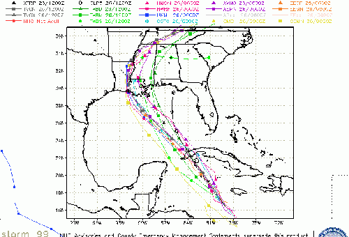
The current forecast makes landfall as a category 3 or 4 hurricane in Terrebonne Parish, going between Houma and Morgan CIty, and very near or over Baton Rouge. Great amounts of onshear surge will be at and just to the right of landfall, with 10-15 feet possible in areas between Morgan City and the mouth of the Mississippi, however lower, but in some cases significant--especially closer to Ida, surge impacts could be felt all the way to the western Panhandle of Florida.. Extremely heavy rainfall, and wind as well. Power outages will likely be widespread. After landfall, remnants will likely move toward the Tennessee Valley
Today is the last full preparation day for those in the Hurricane Warning area. For the best information for your local area consult local media and officials, an the area National Weather Service office.
Original Update
Hurricane Ida is beginning to strengthen this morning, slowed by traveling over Cuba, now with 85mph winds, the intensification phase is forecast to begin later today and overnight. There is the potential for a bit of dry air intrusion, which would be a limiting factor for intensification, however, the lack of shear and very warm waters that Ida will be traveling over will probably keep it on the intensification track. So far the intensity forecast from yesterday has been correct.
The current forecast makes landfall as a category 4 hurricane in Terrebonne Parish, going between Houma and Morgan CIty, and very near or over Baton Rouge. Great amounts of onshear surge will be at and just to the right of landfall, with 10-15 feet possible in areas between Morgan City and the mouth of the Mississippi, however lower, but in some cases significant--especially closer to Ida, surge impacts could be felt all the way to the western Panhandle of Florida.. Extremely heavy rainfall, and wind as well. Power outages will likely be widespread. After landfall, remnants will likely move toward the Tennessee Valley
Today is the last full preparation day for those in the Hurricane Warning area. For the best information for your local area consult local media and officials, an the area National Weather Service office.
Tropical Depression Ten has formed from 98L in the Central Atlantic, likely no threat to land.
Ida Event Related Links
SFWMD Model Plot (Animated Model Plot) SFWMD Hurricane Page
[https://flhurricane.com/floatanimator.php?year=2021&storm=9 Flhurricane Satellite Floater Animation of Ida
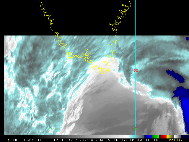
GOES Floater
Animated Model Plot of Ida
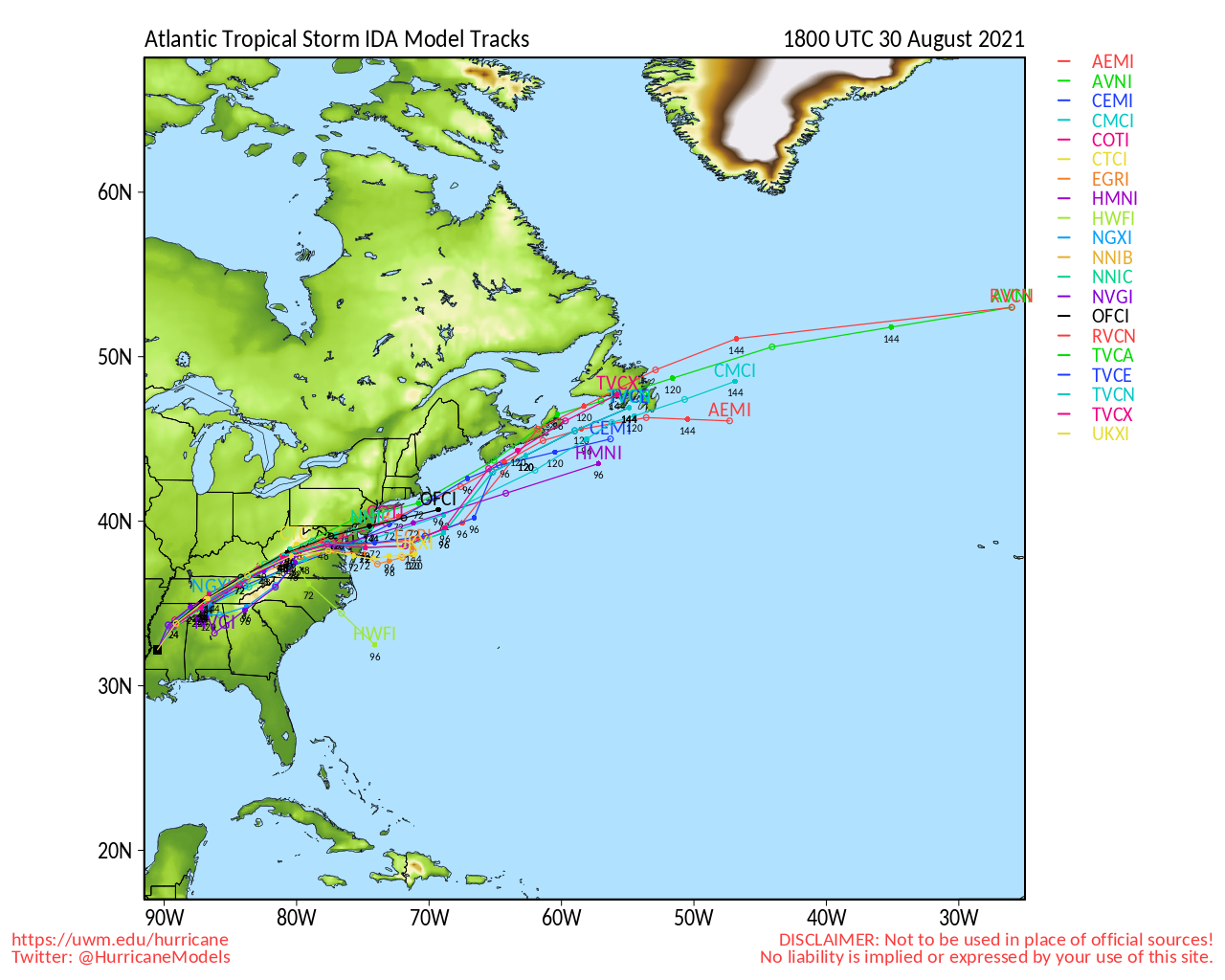
Clark Evans Track Model Plot of Ida
(Animated!) Model Plots in Google Earth - In Google Maps
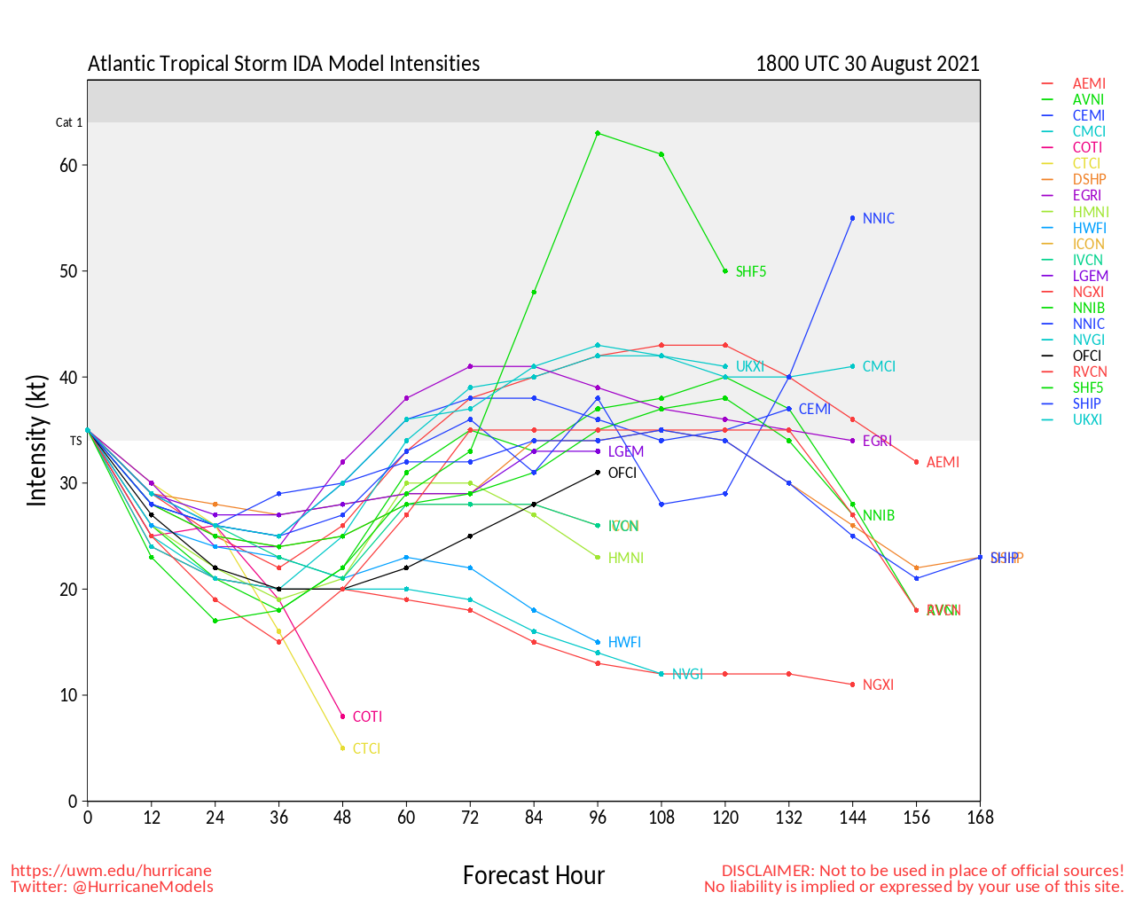
Clark Evans Intensity Model Plot of Ida (Animated!)
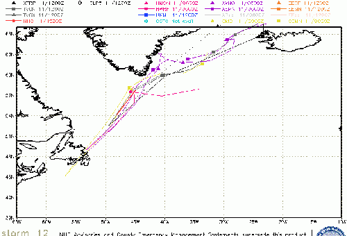
Clark Evans Track Plot of Ida
Other Model Charts from Clark
Clark Evans Top 10 Analog Storms for Ida
More model runs on from RAL/Jonathan Vigh's page
NRL Info on Ida -- RAMMB Info
COD Atlantic Satellite View
North Gulf Links
North Gulf/Southern Mississippi Valley Composite Radar Loop
(Latest Static)
East to West:
Mobile, AL Radar Radar Loop
(Latest Static)
New Orleans, LA Radar Radar Loop
(Latest Static)
Lake Charles, LA Radar Radar Loop
(Latest Static)
Houston/Galveston, TX Radar Radar Loop
(Latest Static)
Gulf of Mexico Satellite Imagery
Area Forecast Discussions:
Mississippi/Alabama/Pensacola -
New Orleans, LA -
Lake Charles, LA -
Houston/Galveston, TX
Mississippi/Alabama Gulf Coast Media/Links
WLOX TV 13 (ABC) Biloxi
WXXV TV 25 (Fox)Biloxi
WKRG TV 5 (CBS) Mobile
WPMI TV 15 (NBC) Mobile
WALA TV 10 (Fox) Mobile
WEAR TV 3 (ABC) Pensacola, FL
Newspapers
Mobile Register (Al.com) paper
Biloxi Sun Herald paper
Gulf Live
Radio (some)
News Talk 104.9 Biloxi, MS (Radio)
News talk 106.5 Mobile, AL (Radio)
Power Outage
Louisiana power outage map
Mississippi Power Outage Map
Alabama Power Outage Map
>
- Lake Charles, LA Area Media and Information
kplctv 7 NBC Lake Charles
Fox 29 Lake Charles
American Press Newspaper Lake Charles
Louisiana Information
Govt/Official Info:
Louisiana Emergency Management
Mississippi Emergency Management
Alabama Emergency Management
Louisiana Dept. of Transportation - Road Closures, Traffic Cams, etc.
Mississippi - Road Closures, Traffic Cams, etc
Alabama Road Conditions and Traffic Cameras
Media Newspapers/TV/Radio:
Nola.com New Orleans Times-Picayune
WWL TV 4 (CBS Affiliate in New Orleans)
ABC 26 TV (ABC Affiliate in New Orleans)
WDSU Channel 6 (NBC Affiliate New Orleans)
Fox 8 (New Orleans)
WTIX 690 News Radio
WWL 870 News Radio
WTOK 11 / Missippii Alabama ABC Affiliate
WKRG 5 in Mobile/Pensacola
WPMI Channel 15 from Mobile
Kate Event Related Links
SFWMD Model Plot (Animated Model Plot) SFWMD Hurricane Page
[https://flhurricane.com/floatanimator.php?year=2021&storm=10 Flhurricane Satellite Floater Animation of Kate
GOES Floater
Animated Model Plot of Kate
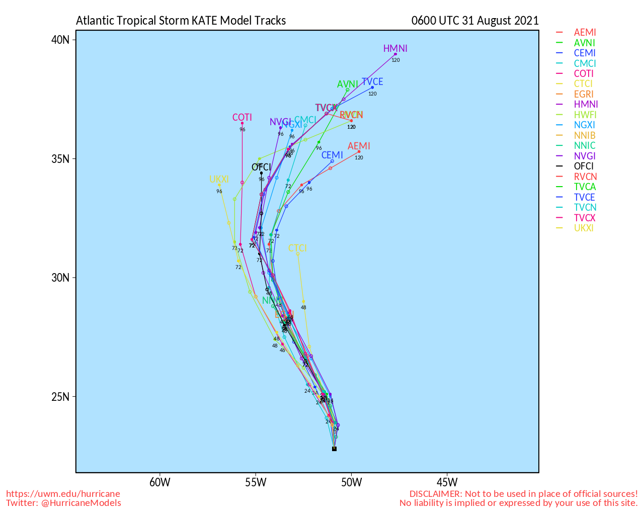
Clark Evans Track Model Plot of Kate
(Animated!) Model Plots in Google Earth - In Google Maps
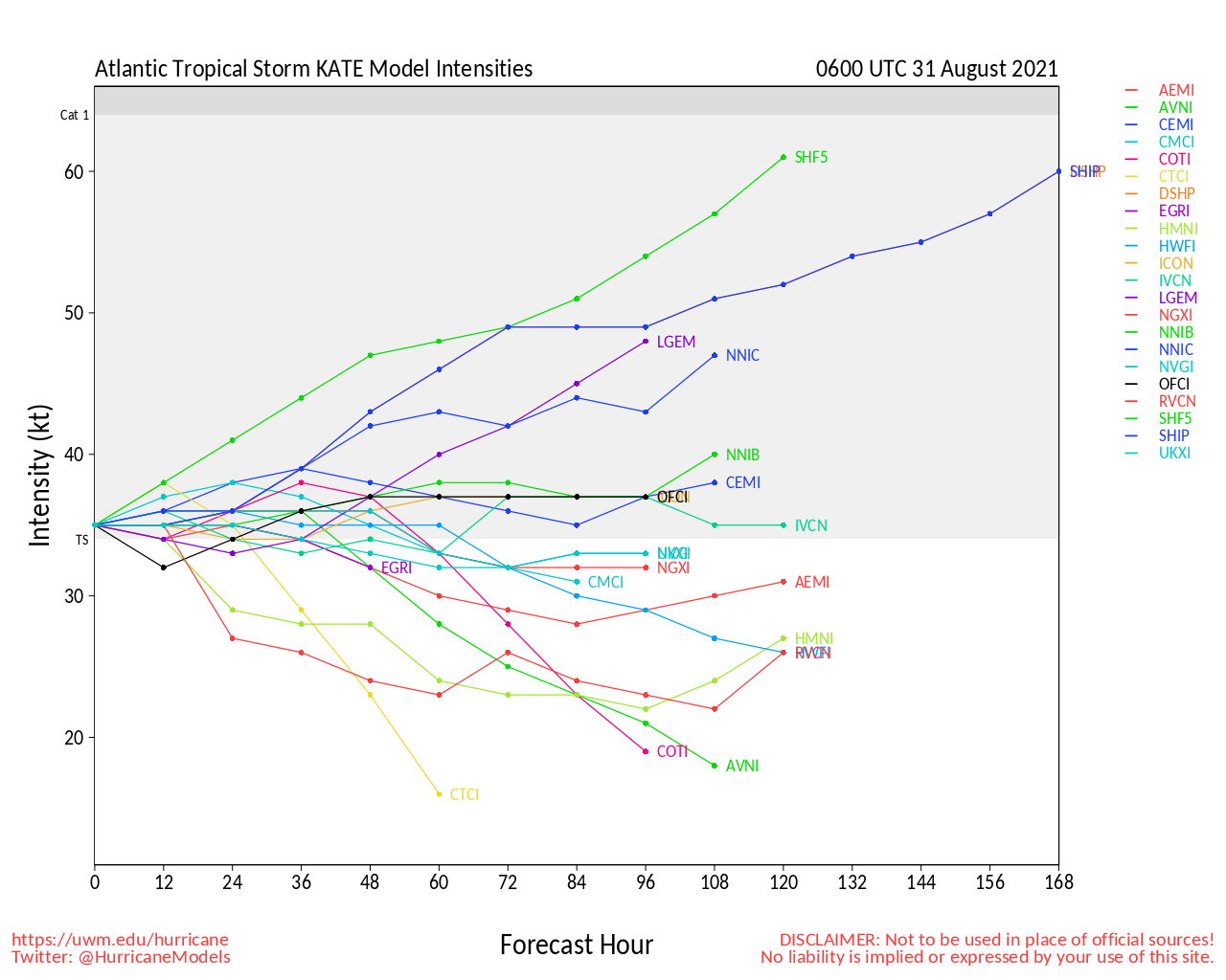
Clark Evans Intensity Model Plot of Kate (Animated!)
Clark Evans Track Plot of Kate
Other Model Charts from Clark
Clark Evans Top 10 Analog Storms for Kate
More model runs on from RAL/Jonathan Vigh's page
NRL Info on Kate -- RAMMB Info
COD Atlantic Satellite View
Julian Event Related Links
SFWMD Model Plot (Animated Model Plot) SFWMD Hurricane Page
[https://flhurricane.com/floatanimator.php?year=2021&storm=11 Flhurricane Satellite Floater Animation of Julian
GOES Floater
Animated Model Plot of Julian
Clark Evans Track Model Plot of Julian
(Animated!) Model Plots in Google Earth - In Google Maps
Clark Evans Intensity Model Plot of Julian (Animated!)
Clark Evans Track Plot of Julian
Other Model Charts from Clark
Clark Evans Top 10 Analog Storms for Julian
More model runs on from RAL/Jonathan Vigh's page
NRL Info on Julian -- RAMMB Info
COD Atlantic Satellite View
Larry Event Related Links
SFWMD Model Plot (Animated Model Plot) SFWMD Hurricane Page
[https://flhurricane.com/floatanimator.php?year=2021&storm=12 Flhurricane Satellite Floater Animation of Larry
GOES Floater
Animated Model Plot of Larry
Clark Evans Track Model Plot of Larry
(Animated!) Model Plots in Google Earth - In Google Maps
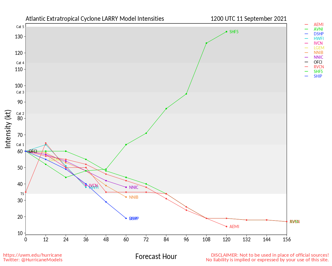
Clark Evans Intensity Model Plot of Larry (Animated!)
Clark Evans Track Plot of Larry
Other Model Charts from Clark
Clark Evans Top 10 Analog Storms for Larry
More model runs on from RAL/Jonathan Vigh's page
NRL Info on Larry -- RAMMB Info
COD Atlantic Satellite View
Invest 91 Event Related Links
SFWMD Model Plot (Animated Model Plot) SFWMD Hurricane Page
[https://flhurricane.com/floatanimator.php?year=2021&storm=13 Flhurricane Satellite Floater Animation of 91L
GOES Floater
Animated Model Plot of 91L
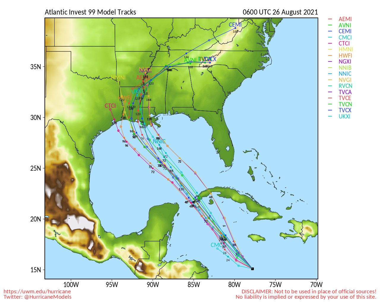
Clark Evans Track Model Plot of 91L
(Animated!) Model Plots in Google Earth - In Google Maps
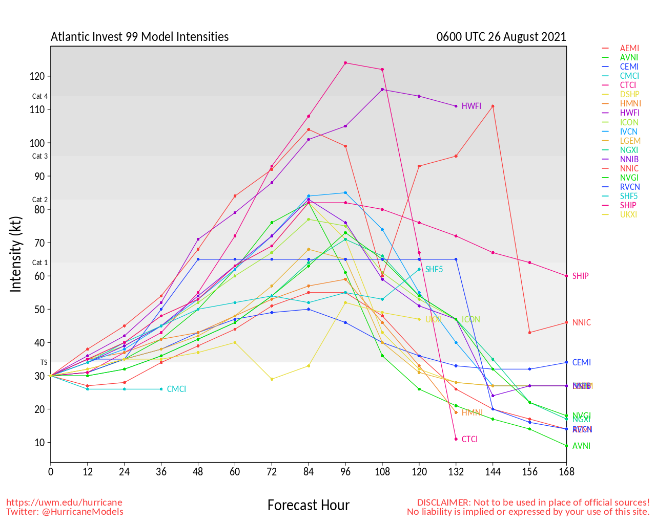
Clark Evans Intensity Model Plot of 91L (Animated!)
Clark Evans Track Plot of 91L
Other Model Charts from Clark
Clark Evans Top 10 Analog Storms for 91L
More model runs on from RAL/Jonathan Vigh's page
NRL Info on 91L -- RAMMB Info
COD Atlantic Satellite View
 Threaded


