Original Update
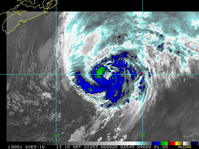
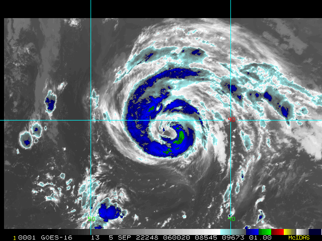
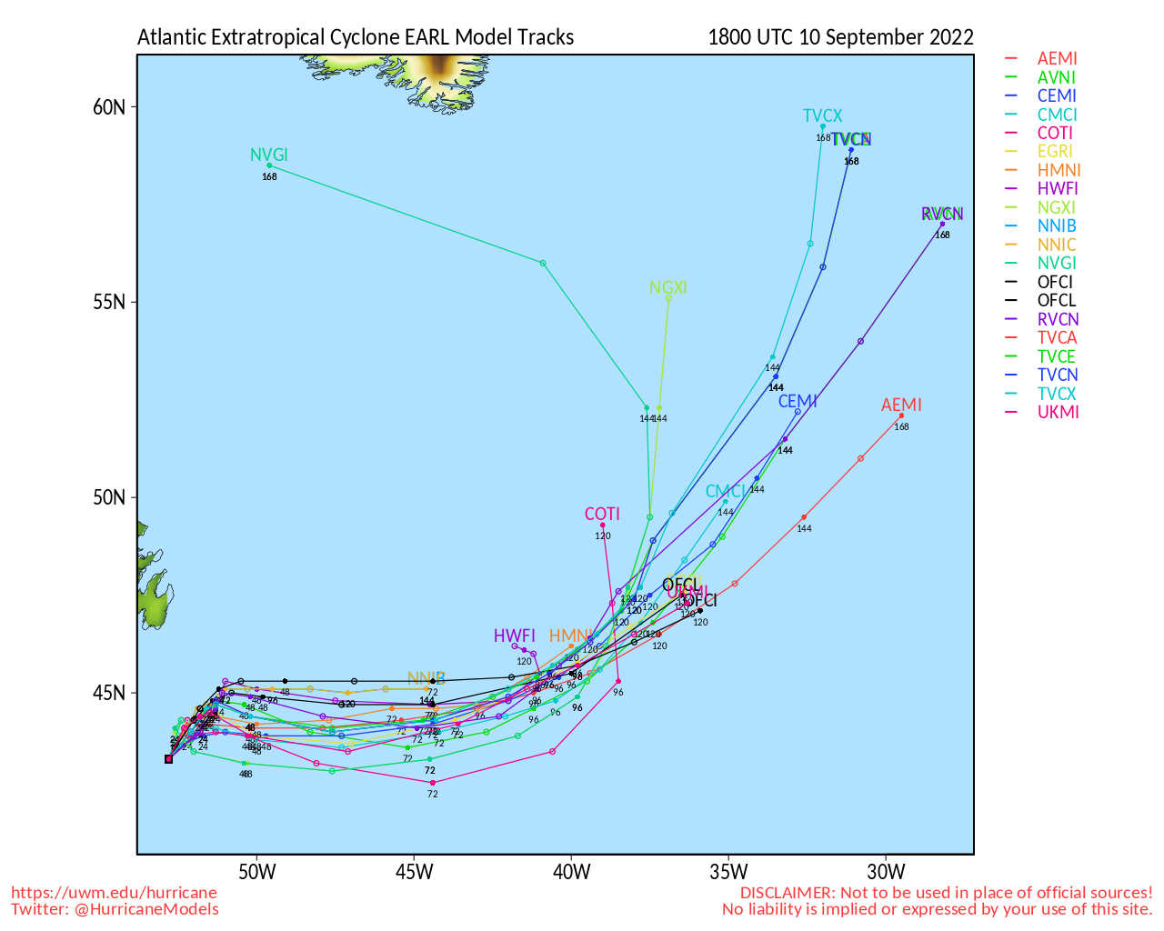
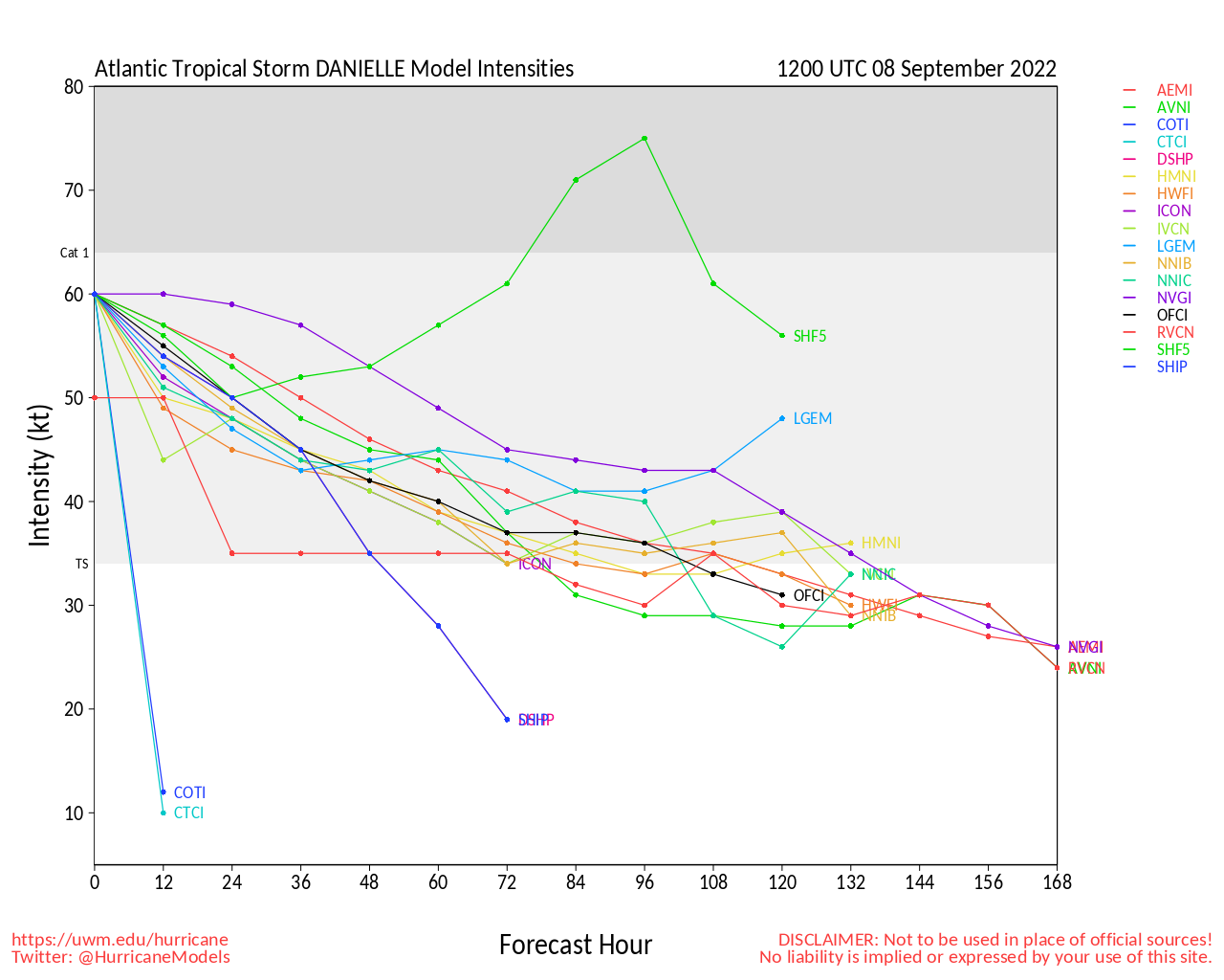
The Atlantic basin may have been down, but is definitely not out. Tropical Storm and recent hurricane Danielle is likely to become a hurricane again in the north-central Atlantic. And now scraping the northern Leewards and tracking along just north of the Greater Antilles, Tropical Storm Earl is likely to become a hurricane as well, and possibly sooner rather than later. Both have the potential to Major; especially Earl.
While Earl is odds-on to recurve and Danielle is mostly a fish storm, interests in and near the Greater Antilles, Bermuda, as well as in the Azores may want to pay close attention, as any deviation in expected track could put these land areas at real risk for more significant impacts.
Earl Event Related Links
SFWMD Model Plot (Animated Model Plot) SFWMD Hurricane Page
[https://flhurricane.com/floatanimator.php?year=2022&storm=6 Flhurricane Satellite Floater Animation of Earl
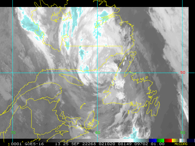
GOES Floater
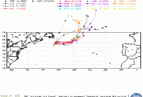
Animated Model Plot of Earl
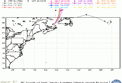
Clark Evans Track Model Plot of Earl
(Animated!) Model Plots in Google Earth - In Google Maps
Clark Evans Intensity Model Plot of Earl (Animated!)
Clark Evans Track Plot of Earl
Other Model Charts from Clark
Clark Evans Top 10 Analog Storms for Earl
More model runs on from RAL/Jonathan Vigh's page
NRL Info on Earl -- RAMMB Info
COD Atlantic Satellite View
Danielle Event Related Links
SFWMD Model Plot (Animated Model Plot) SFWMD Hurricane Page
[https://flhurricane.com/floatanimator.php?year=2022&storm=5 Flhurricane Satellite Floater Animation of Danielle
GOES Floater
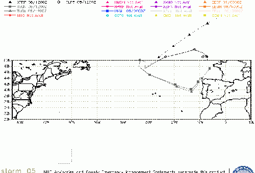
Animated Model Plot of Danielle
Clark Evans Track Model Plot of Danielle
(Animated!) Model Plots in Google Earth - In Google Maps
Clark Evans Intensity Model Plot of Danielle (Animated!)
Clark Evans Track Plot of Danielle
Other Model Charts from Clark
Clark Evans Top 10 Analog Storms for Danielle
More model runs on from RAL/Jonathan Vigh's page
NRL Info on Danielle -- RAMMB Info
COD Atlantic Satellite View
Invest 95L Event Related Links
SFWMD Model Plot (Animated Model Plot) SFWMD Hurricane Page
[https://flhurricane.com/floatanimator.php?year=2022&storm=7 Flhurricane Satellite Floater Animation of 95L
GOES Floater
Animated Model Plot of 95L
Clark Evans Track Model Plot of 95L
(Animated!) Model Plots in Google Earth - In Google Maps
Clark Evans Intensity Model Plot of 95L (Animated!)
Clark Evans Track Plot of 95L
Other Model Charts from Clark
Clark Evans Top 10 Analog Storms for 95L
More model runs on from RAL/Jonathan Vigh's page
NRL Info on 95L -- RAMMB Info
COD Atlantic Satellite View
Bermuda Newspapers/Media:
BerNews
Royal Gazette (Bermuda)
Bermuda Sun
Hott 107.5 Bermuda Radio
Storm Carib Bermuda Reports
Bermuda Weather Service
StormCarib Reports from the Caribbean Islands
Caribbean Weather Observations
Barbados Brohav Weather Fax
Full Caribbean Radar Composite
Caribbean Broadcast Corporation (TV/Radio from Antilles)
San Juan, PR NWS Page
Various Caribbean Radio Stations
DR1 Dominican Republic Hurricanes
Edited by MikeC (Mon Sep 12 2022 07:36 AM)
 Threaded


