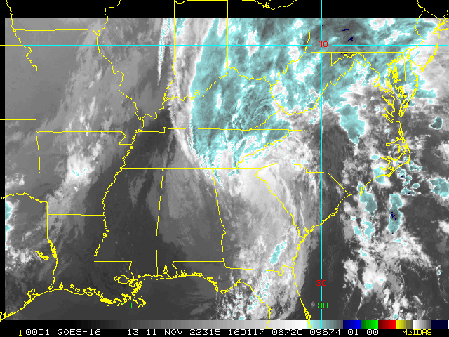
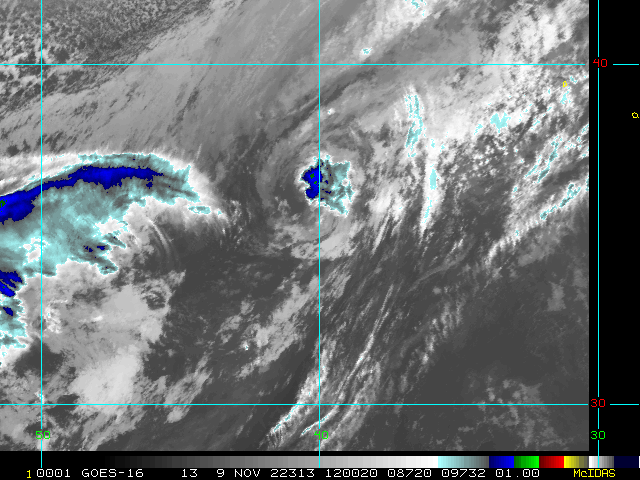
6:00 PM EST 9 November 2022 Update
Nicole has been upgraded to a hurricane.
10:30 AM EST 8 November 2022 Update
Nicole is now a fully tropical storm, and Hurricane Warnings are now up along the east coast of Florida from Boca Raton, north to the Volusia/Flagler county line as Nicole is forecast to be a category 1 hurricane at landfall late tomorrow night.
Tropical Storm watches are also up from Altamaha Sound near Brunswick, GA to the Savannah River.
Please consult local media and officials for the best information for your local area.
7:30 AM EST 8 November 2022 Update
From recon Nicole is a little stronger this morning, down to 995 (And possibly a little lower now). Watch/warning wise the only change since last night is there are tropical storm watches now up along parts of the west coast of Florida. Tropical Storm warnings and a hurricane watch are still up for the east coast of Florida. A hurricane warning may be issued for parts of the east coast of Florida later today. Nicole is forecast to become purely tropical later today (it's already showing signs of starting to do that), and a category 1 hurricane tomorrow night before landfall along the east Florida coast, with a large area to the north of the landfall point likely to see the worst surge. For those along the east coast, the wind should generally start to pick up today, and especially tomorrow afternoon and evening. I'd bring in or tie down anything loose outdoors you can today if you can since the wind on the north side of the storm is going to be very continual once it gets going and if you're along the east coast in the hurricane watch area, consider doing more preparation.
Please check local officials and media for the best information for your particular area.
10:00 PM EST 7 November 2022 Update
Nicole is a little stronger tonight, with pressure falling to 998mb, recon is en route to check it again. Some dry air has wrapped around it, delaying any significant strengthening.
Tropical Storm warnings are now up for most of the east coast of Florida and part of Georgia, from Hallandale Beach Florida northward to Altamaha Sound in Georgia and Lake Okeechobee . As as well as storm surge warnings along the coast and up the st. Johns. Important to note that the hurricane watch is still up, however, as it will take longer for the hurricane conditions to reach land than the tropical storm conditions. Some portion of the tropical storm warning area may be upgraded to a hurricane warning tomorrow. Watches are conditions expected within 48 hours, while warnings are within 36 hours. Again to point out because of the hybrid/subtropical nature of this the winds on the north side will be much larger in area than a typical tropical storm, so most of Thursday will be very windy, and it'll begin to pick up tomorrow slowly into Wednesday night. I'd strongly recommend securing anything loose outside tomorrow if you are anywhere in the watch/warning area.
Hurricane Warnings remain up for the Northwestern Bahamas.
Watches for portions of the Florida west coast also may go up tomorrow.
4:00 PM EST 7 November 2022 Update
Hurricane Warnings now up for the Northwestern Bahamas. Storm surge watch extended further south into the St. Johns river to Palatka. Huirricane still forecast to landfall in Florida Thursday.
Update us on Conditions in your area for Nicole Here
10:30 AM EST 7 November 2022 Update
Hurricane Watches are up for a good portion of South and East Central Florida, Brevard/Volusia down to Hallandale. Nicole is forecast to be a hurricane at landfall late Wednesday Night/Thursday Morning.
With a large area of winds on the north side, please do not concentrate on the cone itself along the coast, watches/warnings may expand later.
Original Update
Subtropical Storm Nicole Has formed east of the Bahamas and is expected to move toward the Northwestern Bahamas and then Florida Wednesday night into Thursday. Tropical Storm or Hurricane Watches are likely to be issued for parts of Florida Later Today.
Nicole currently is subtropical but is forecast to become fully tropical in a few days, the current forecast keeps it just shy of hurricane force before landfall, but the potential exists for a hurricane. Nicole is a very large storm, and with the pressure gradient with the high to the north gradient driven winds will enhance the winds on the north side of Nicole, bringing a prolonged period of coastal flooding, tropical storm form winds, heavy rainfall, surf and rip currents, beach erosion and surge flooding potentially across the SE US coast Georgia up to NC/Virginia and East Florida.
More rain for parts of Florida from Wednesday-Friday, before it moves north. The worst weather, especially winds, is likely to be on the northern half of the storm, but it's important to note the area of impact is going to be large, all the cone particularly on the north side of it will likely be impacted.
Much uncertainty still exists in the final track and intensity of the system. However, impacts to eastern Florida
are expected whether the storm remains sub-tropical or becomes tropical. Preparations need to be completed prior to Wed, as conditions will rapidly deteriorate into Wednesday afternoon, night, and into Thursday. Those still dealing with the devastating impacts from Hurricane Ian are especially encouraged to make preparations and monitor the forecast.
Check local media and officials for the best information for your local area.
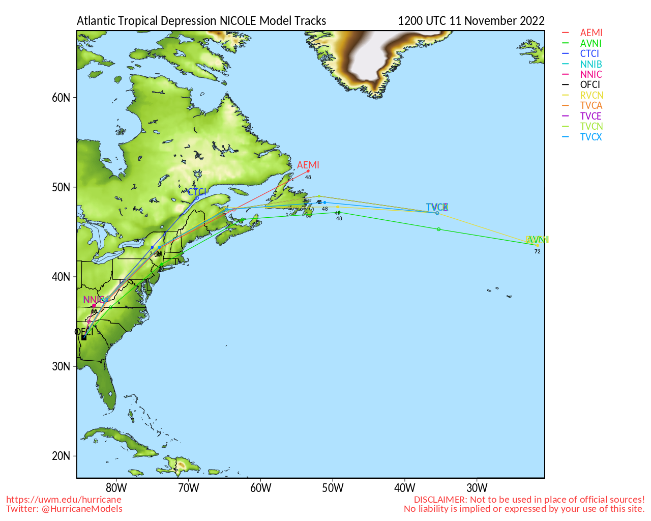
Nicole Event Related Links

SFWMD Model Plot (Animated Model Plot) SFWMD Hurricane Page
[https://flhurricane.com/floatanimator.php?year=2022&storm=17 Flhurricane Satellite Floater Animation of Nicole
GOES Floater
Animated Model Plot of Nicole
Clark Evans Track Model Plot of Nicole
(Animated!) Model Plots in Google Earth - In Google Maps
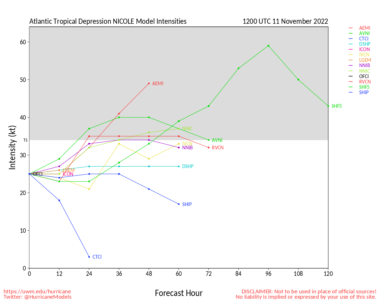
Clark Evans Intensity Model Plot of Nicole (Animated!)
Clark Evans Track Plot of Nicole
Other Model Charts from Clark
Clark Evans Top 10 Analog Storms for Nicole
More model runs on from RAL/Jonathan Vigh's page
NRL Info on Nicole -- RAMMB Info
COD Atlantic Satellite View
Invest 97L Event Related Links
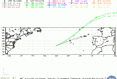
SFWMD Model Plot (Animated Model Plot) SFWMD Hurricane Page
[https://flhurricane.com/floatanimator.php?year=2022&storm=18 Flhurricane Satellite Floater Animation of 97
GOES Floater
Animated Model Plot of 97
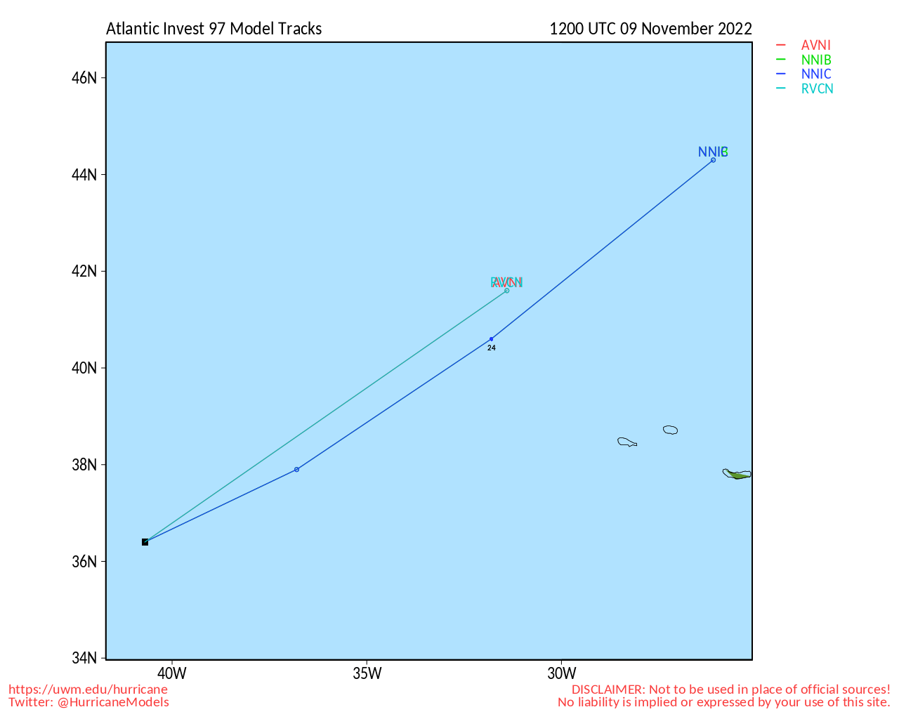
Clark Evans Track Model Plot of 97
(Animated!) Model Plots in Google Earth - In Google Maps
Clark Evans Intensity Model Plot of 97 (Animated!)
Clark Evans Track Plot of 97
Other Model Charts from Clark
Clark Evans Top 10 Analog Storms for 97
More model runs on from RAL/Jonathan Vigh's page
NRL Info on 97 -- RAMMB Info
COD Atlantic Satellite View
> Bahamas Media
Bahamas Radar
Television & Radio:
ZNS Bahamas, Radio & TV
More 94 FM Bahamas
Newspapers:
Bahamas Tribune
Nassau Guardian
Bahamas B2B
The Abaconian - Abaco Island News
Freeport News
East Florida Links
Southeast Composite Radar Loop
(Latest Static)
South to North:
Key West, FL Radar Radar Loop
(Latest Static)
Miami, FL Radar Radar Loop
(Latest Static)
Melbourne, FL Radar Radar Loop
(Latest Static)
Jacksonville, FL Radar Radar Loop
(Latest Static)
Caribbean/South East Coast Satellite Imagery
SFWMD Radar Loop of South Florida with storm Track
SFWMD Full Florida Radar Loop with Storm Track
Area Forecast Discussions:
FLorida Keys -
Miami/South Florida -
Melbourne/East Central Florida -
Jacksonville/Northeast Florida -
News Media (South Florida):
Television:
Newspapers:
News Radio:
Check local media and officials when a storm is approaching your area.
News Media (East Central Florida):
Television:
Newspapers:
News Radio:
Check local media and officials when a storm is approaching your area.
 Threaded


