2PM EDT 8 June 2013 Update
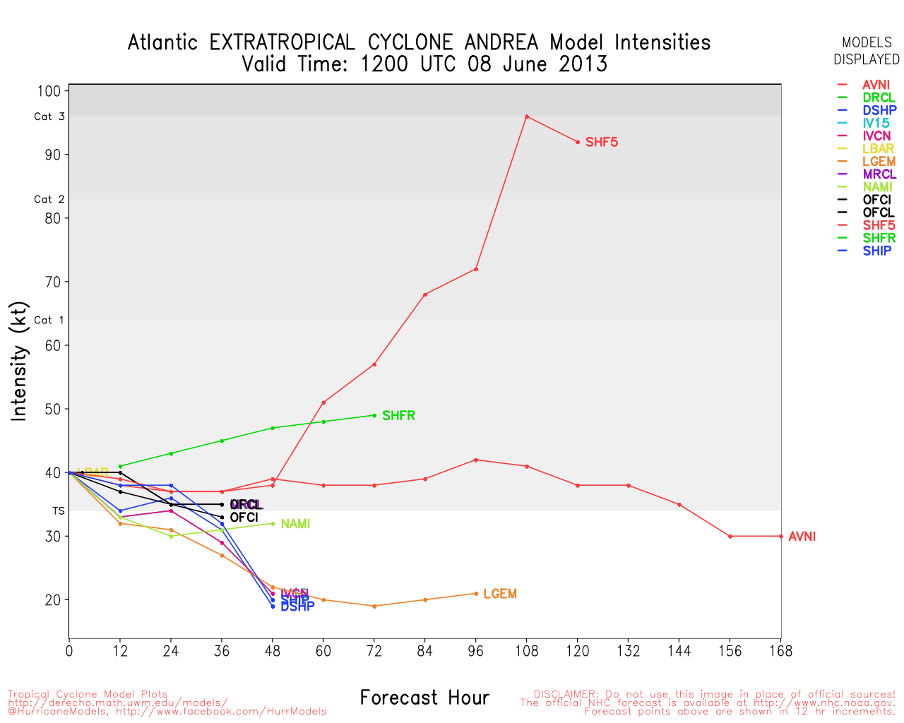
This is just a quick update to note that the last official advisory on PT Andrea has been written by . PT Andrea is now racing out to the north-northeast, and almost all of the US-related weather is either soon coming to an end in Maine, or already well offshore. Atlantic Canada will still have a lashing before Andrea is finally absorbed by another low in about 48 hours, however.
Ciel
8AM EDT 7 June 2013 Update
Tropical Storm Andrea is over South Carolina this morning and will briefly exit the coastline, rain ahead and to the east, with a long tail that reaches toward south Florida continues.
Another area of low pressure in the Central Atlantic, 92L, looked impressive yesterday for June, but has since weakened, we'll monitor it in case of any regeneration, but it will take days, if at all as it tracks generally westward.
Prior Update
Tropical Storm Andrea strengthened to a 60MPH Tropical Storm and is approaching the big bend of the area, heading north northeast at 14mph, bringing strong rainbands onshore in Florida bringing a few short lived tornadoes, and lots of rain.
Once it moves onshore other areas of the southeast will see some effects from Andrea, particularly those who wind up at or just south of where the storm's center passes. Tropical Storm Warnings are up from Flagler beach in Florida north to Virginia.
What is Andrea doing in your area, let us know here.

The strong rain bands have produced a few tornadoes, with some damage reported near Palm Beach west of 95.
Another very strong rainband is offshore and may be approaching Tampa later this morning.

Tropical Storm Andrea has defied forecasts calling for little or no strengthening, and has become a potent 60 MPH Tropical Storm, and this could be conservative. Additionally, while not forecast, some additional strengthening is actually still possible before landfall.
Andrea has managed to run into a zone of upper-level winds that are actually resulting in two events supportive of intensification:
First, strong upper-level winds that would normally be creating detrimental shear are running in about the same direction Andrea has been traveling overnight, also important that her forward speed has increased, both resulting in net effective shear that is actually quite a bit lower than would be the case if the cyclone was heading to a more right angle of the mean upper-level flow.
Second, these same upper-level winds have created a nice source of exhaust for Andrea's thunderstorms, thereby creating a perpetual entrainment machine: inflow in, inflow out (vacuum) more inflow in, more inflow out (rinse and repeat).
Andrea now exhibits the hallmark of a tropical cyclone that does not necessarily need to reach hurricane status to result in more than just some heavy tropical squalls, and those in its path may wish to consider revisiting their hurricane preparedness plans, as regardless of whether Andrea intensifies further, very heavy rain - with increased risks of inland flooding - some storm surge flooding along the coast, potentially damaging winds - especially in gusts - and isolated tornadoes, are now all possible anywhere from south Florida right up into the Big Bend.
Later in the week, Andrea is forecast to continue at storm intensity as she rides up the east coast. This has necessitated Tropical Storm Warnings to be extended all the way to Virginia.
Ciel
Long term Florida radar recording SWFWMD Full Florida Radar Recording for 91L - Alternate Style
Andrea Event Related Links


SFWMD Model Plot (Animated Model Plot) SFWMD Hurricane Page
[https://flhurricane.com/floatanimator.php?year=2013&storm=1 Flhurricane Satellite Floater Animation of Andrea
GOES Floater
Animated Model Plot of Andrea
Clark Evans Track Model Plot of Andrea
(Animated!) Model Plots in Google Earth - In Google Maps
Clark Evans Intensity Model Plot of Andrea (Animated!)
Clark Evans Track Plot of Andrea
Other Model Charts from Clark
Clark Evans Top 10 Analog Storms for Andrea
More model runs on from RAL/Jonathan Vigh's page
NRL Info on Andrea -- RAMMB Info
COD Atlantic Satellite View
Storm Surge Tides and Currents for Andrea
Webcams
Bird Key Webcam
Siesta Key Webcam
Clearwater Beach Webcams
Treasure Island webcams
Anna Maria Island Webcams
Power outage map for Florida (Progress Energy)
Florida Emergency Management
Tampa Area Media:
Bay News 9
WFLA News 8 (NBC)
Bay Action News (ABC)
WTSP Channel 10 (CBS)
My Fox Tampa Bay
WWSB ABC 7 Sarasota
Tampa Bay Times
Tampa Bay Online
Sarasota Herald Tribune
970 WFLA Tampa News/Talk Radio
Northeast Gulf Links
Southeast Composite Radar Loop
(Latest Static)
Tampa Bay, FL Radar Radar Loop
(Latest Static)
Key West, FL Radar Radar Loop
(Latest Static)
Mobile, AL Radar Radar Loop
(Latest Static)
Tallahassee FL Radar Radar Loop
(Latest Static)
Northwest Florida Radar Radar Loop
(Latest Static)
Gulf of Mexico Satellite Imagery
SFWMD Full Florida Radar (Includes east LA, MS,AL) Loop with Storm Track
Area Forecast Discussions:
New Orleans -
Mississippi/Alabama/Pensacola -
Panhandle/Tallahassee -
Tampa/West Central Florida
East Florida Links
Southeast Composite Radar Loop
(Latest Static)
South to North:
Key West, FL Radar Radar Loop
(Latest Static)
Miami, FL Radar Radar Loop
(Latest Static)
Melbourne, FL Radar Radar Loop
(Latest Static)
Jacksonville, FL Radar Radar Loop
(Latest Static)
Caribbean/South East Coast Satellite Imagery
SFWMD Radar Loop of South Florida with storm Track
SFWMD Full Florida Radar Loop with Storm Track
Area Forecast Discussions:
FLorida Keys -
Miami/South Florida -
Melbourne/East Central Florida -
Jacksonville/Northeast Florida -
Mid-Atlantic/Carolina Links
Southeast Composite Radar Loop
(Latest Static)
Charleston, SC Radar Radar Loop
(Latest Static)
Wilmington, NC Radar Radar Loop
(Latest Static)
Morehead City, NC Radar Radar Loop
(Latest Static)
Norfolk/Wakefield, VA Radar Radar Loop
(Latest Static)
Area Forecast Discussions:
Charleston, SC -
Wilmington, NC -
Morehead City, NC -
Norfolk/Virginia Beach/Hampton Roads, VA
Power Outage Maps:
South Carolina Power Outage Map
North Carolina Power Outage Map
Virginia Power Outage Map
93L Event Related Links


SFWMD Model Plot (Animated Model Plot) SFWMD Hurricane Page
[https://flhurricane.com/floatanimator.php?year=2013&storm=2 Flhurricane Satellite Floater Animation of 93L
GOES Floater
Animated Model Plot of 93L
Clark Evans Track Model Plot of 93L
(Animated!) Model Plots in Google Earth - In Google Maps
Clark Evans Intensity Model Plot of 93L (Animated!)
Clark Evans Track Plot of 93L
Other Model Charts from Clark
Clark Evans Top 10 Analog Storms for 93L
More model runs on from RAL/Jonathan Vigh's page
NRL Info on 93L -- RAMMB Info
COD Atlantic Satellite View
 Threaded


