Update - Wednesday, November 20, 1055AM EST
Melissa has finally made the transition to a warm core tropical cyclone, however the 'tropical' status should be short-lived as follow-on transition to status is expected on Friday. Melissa made the transition while over SSTs of 23C and is moving to the northeast at 25 knots and is already over cooler waters in the North Atlantic. Current wind speed is 50 knots, but with colder SSTs, a slow weakening is expected and the storm is expected to get absorbed by a large system this weekend.
With Melissa, the seasonal totals increase to 13 named storms, with 2 hurricanes and no major hurricanes.
ED
Update - Monday, November 18, 1010AM EST
As anticipated, Subtropical Storm Melissa, the 13th named storm of the season, has formed in the central Atlantic well to the east southeast of Bermuda. Sustained winds are at 45 knots and the central pressure is already down to 987MB. Current movement is to the northwest at 8 knots with a general north northwest movement likely today and after a brief slowdown on Tuesday, Melissa should turn to the north and eventually northeast ahead of an advancing cold front in the Atlantic. There is a good chance that Melissa will become fully tropical late tonight or early Tuesday morning. Under light windshear, its possible that Melissa could become a hurricane late Tuesday or Wednesday. Melissa will remain at sea, however rough seas will continue to impact the Bahamas, Bermuda, the Virgin Islands and most of the Greater Antilles.
ED
Original Post - Sunday, November 17, 5:57PM EST
A cutoff upper level low pressure system has worked its way down to the surface and a non-tropical gale is developing in the central Atlantic. The system has a good chance to transition into a tropical or (more likely) a subtropical storm over the next few days, and most of the models suggest that a strong storm is likely to develop. Movement should be to the north and eventually north northeast to northeast, i.e., this one should remain at sea. Looks like the season is not quite over just yet - something to track during the upcoming week. The system should track well to the east of Bermuda but will likely generate some high surf there later in the week. The next name on the list this season is Melissa.
ED
Tropical Storm Melissa Event Related Links


SFWMD Model Plot (Animated Model Plot) SFWMD Hurricane Page
[https://flhurricane.com/floatanimator.php?year=2013&storm=14 Flhurricane Satellite Floater Animation of Melissa
GOES Floater
Animated Model Plot of Melissa
Clark Evans Track Model Plot of Melissa
(Animated!) Model Plots in Google Earth - In Google Maps
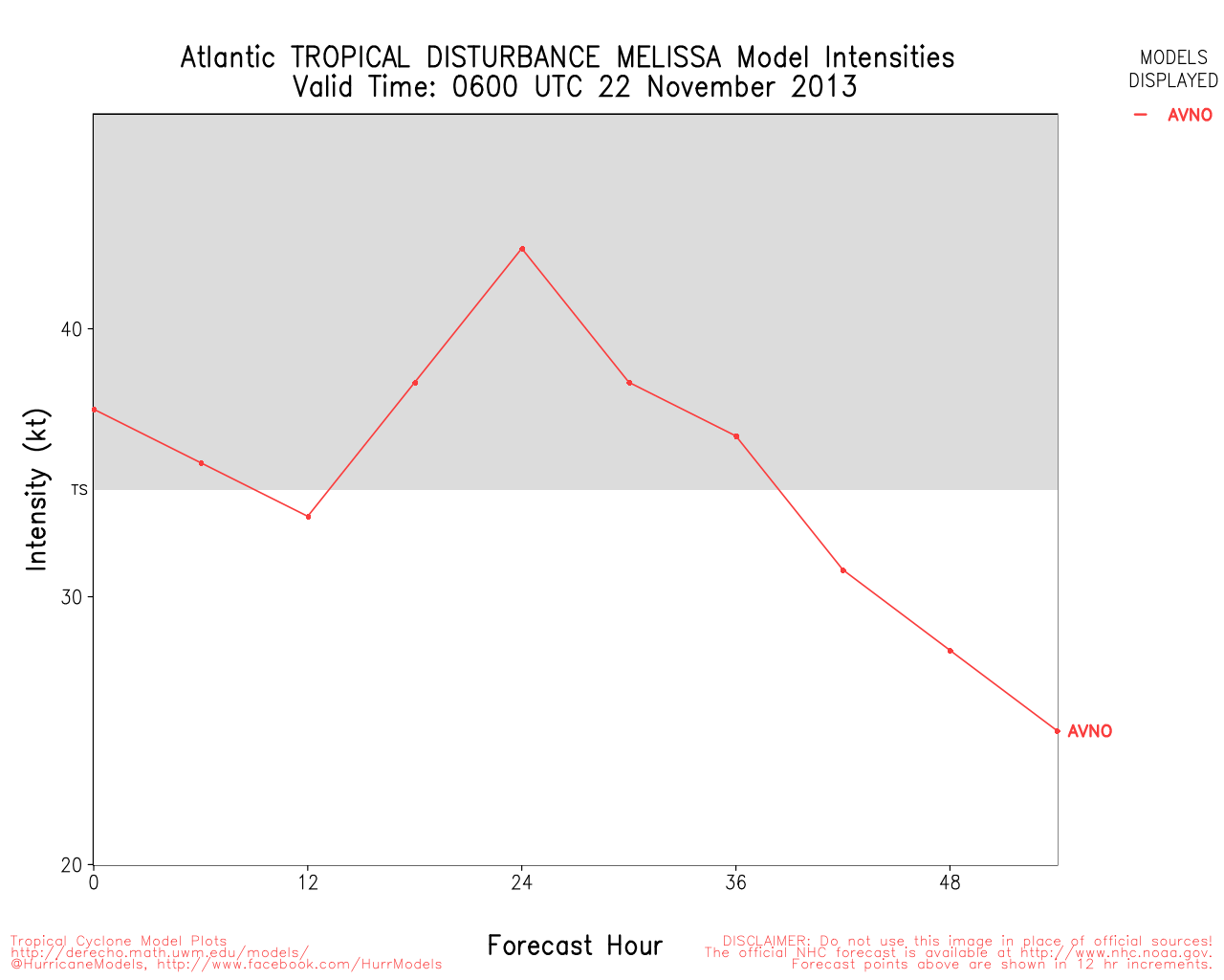
Clark Evans Intensity Model Plot of Melissa (Animated!)
Clark Evans Track Plot of Melissa
Other Model Charts from Clark
Clark Evans Top 10 Analog Storms for Melissa
More model runs on from RAL/Jonathan Vigh's page
NRL Info on Melissa -- RAMMB Info
COD Atlantic Satellite View
Edited by Ed Dunham (Wed Nov 20 2013 10:57 AM)
 Threaded


