The mess that was 96L and TD#4 finally has consolidated enough to become a Tropical Storm, and appears to have done so far enough to the north and east to now be forecast to miss much of the Bahamas and the US entirety. The period of uncertainty that existed in the undeveloped system is now mostly over. Avoiding a troublesome lead-up toward Labor day Weekend.
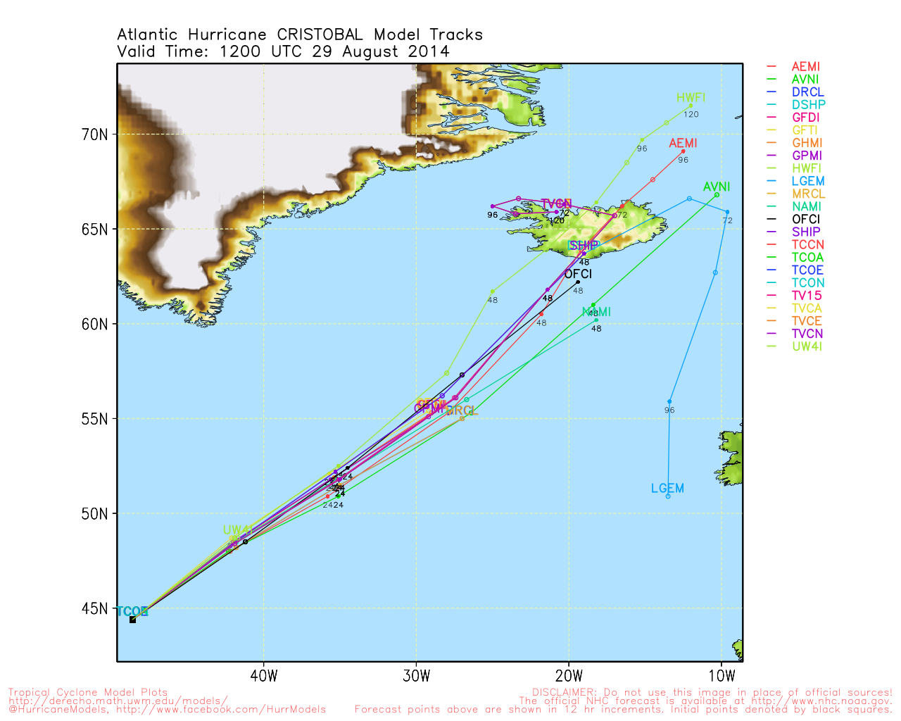
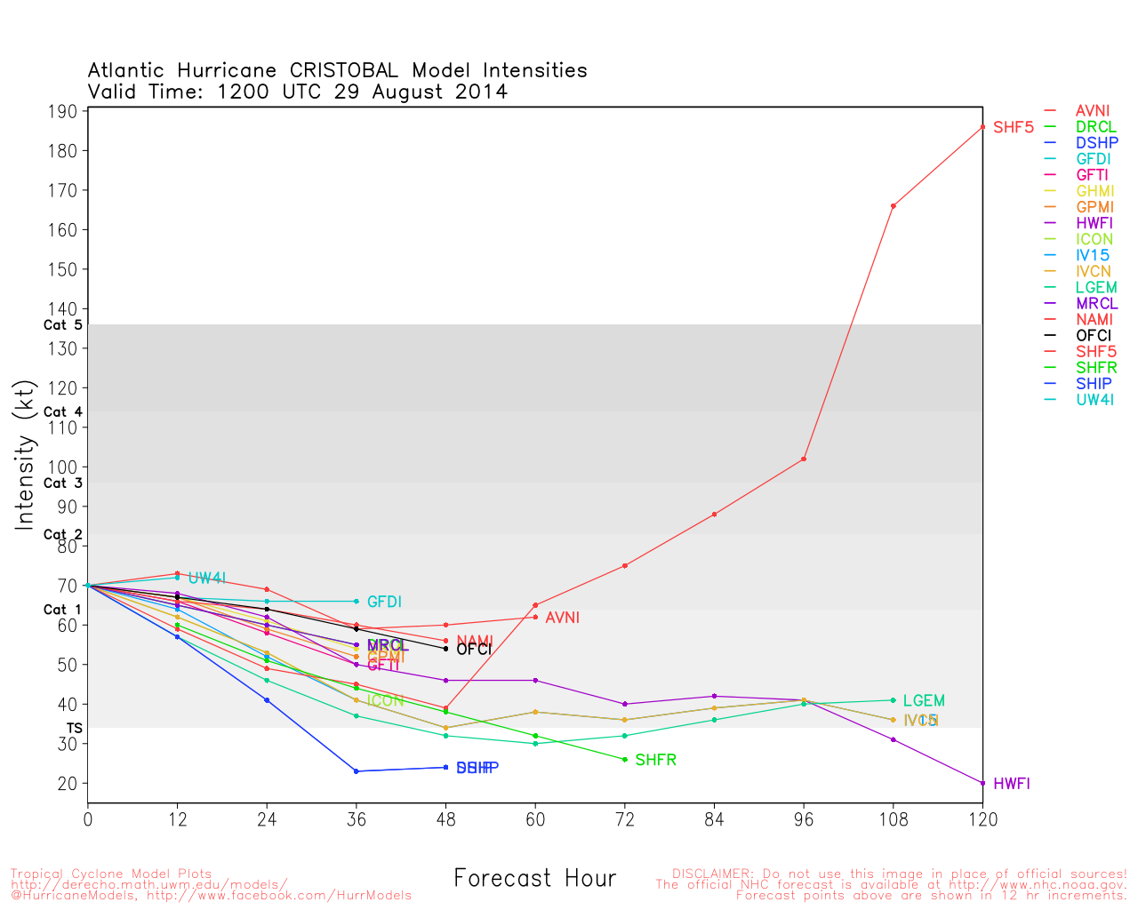
Cristobal likely will meander around and just north of where it is for the next few days before moving on out over the ocean, it may become a Hurricane over the open waters Wednesday or Thursday.
Beyond Cristobal there may be something to watch a week from now, but nothing currently being watched.
Texas Gulf Coast Links
[http://moe.met.fsu.edu/~mnissenbaum/radar.html Mark Nissenbaum's radar page}
East to West:
Houston/Galveston, TX Radar Radar Loop
(Latest Static)
Corpus Christi, TX Radar Radar Loop
(Latest Static)
Brownsville, TX Radar Radar Loop
(Latest Static)
Gulf of Mexico Satellite Imagery
Area Forecast Discussions:
Houston/Galveston, TX
- Corpus Christi, TX - Browsnville/South Padre Island, TX
StormCarib Reports from the Caribbean Islands
Caribbean Weather Observations
Barbados Brohav Weather Fax
Full Caribbean Radar Composite
Caribbean Broadcast Corporation (TV/Radio from Antilles)
San Juan, PR NWS Page
Various Caribbean Radio Stations
DR1 Dominican Republic Hurricanes
Cristobal Event Related Links

SFWMD Model Plot (Animated Model Plot) SFWMD Hurricane Page
[https://flhurricane.com/floatanimator.php?year=2014&storm=4 Flhurricane Satellite Floater Animation of Cristobal
GOES Floater
Animated Model Plot of Cristobal
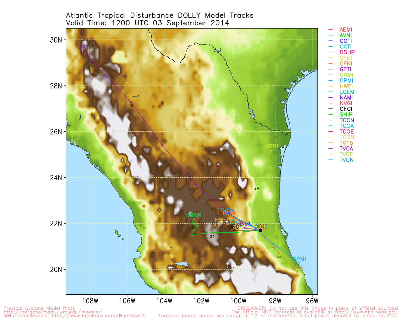
Clark Evans Track Model Plot of Cristobal
(Animated!) Model Plots in Google Earth - In Google Maps
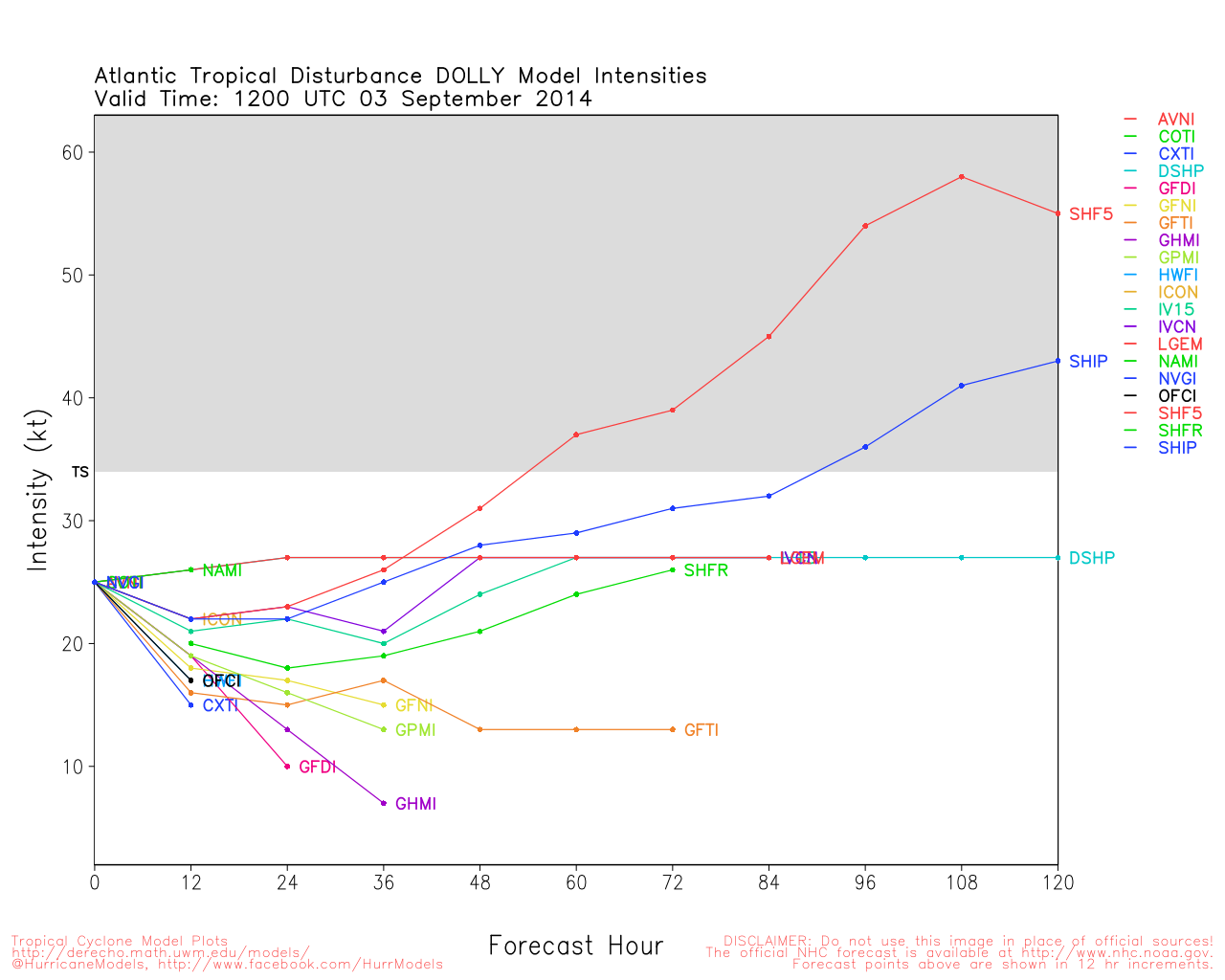
Clark Evans Intensity Model Plot of Cristobal (Animated!)
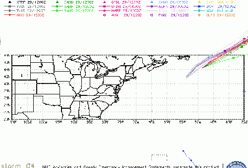
Clark Evans Track Plot of Cristobal
Other Model Charts from Clark
Clark Evans Top 10 Analog Storms for Cristobal
More model runs on from RAL/Jonathan Vigh's page
NRL Info on Cristobal -- RAMMB Info
COD Atlantic Satellite View
98L (Gulf) Event Related Links

SFWMD Model Plot (Animated Model Plot) SFWMD Hurricane Page
[https://flhurricane.com/floatanimator.php?year=2014&storm=5 Flhurricane Satellite Floater Animation of 98L
GOES Floater
Animated Model Plot of 98L
Clark Evans Track Model Plot of 98L
(Animated!) Model Plots in Google Earth - In Google Maps
Clark Evans Intensity Model Plot of 98L (Animated!)
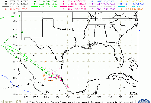
Clark Evans Track Plot of 98L
Other Model Charts from Clark
Clark Evans Top 10 Analog Storms for 98L
More model runs on from RAL/Jonathan Vigh's page
NRL Info on 98L -- RAMMB Info
COD Atlantic Satellite View
 Threaded


