11PM EDT 26 October 2014 Update

Late this evening, Invest 94L broke completely free from its prior frontal merger while simultaneously encountering a very favorable environment for organization. Even though official agencies currently advertise the small-sized tropical low as 35 MPH and 1007mb, a WindSat pass from 2306Z suggested that max sustained winds may have already been stronger at that time, and since then the low has consistently pulsed up more deep convection as it nears the borders of Nicaragua and Honduras.
Even if not a tropical storm, Invest 94L has the potential to create dangerous torrential rains and be accompanied by potentially damaging wind gusts as it pushes closer to and/or inland overnight.
Ciel
Original Post
Today marks nine years since the last Hurricane to make landfall in Florida, . It crossed over near Cape Romano in southwest Florida around 6 AM in the morning and tore across southern Florida and out near Ft. Lauderdale. Damaging areas there and around from a west to east storm. 2005 was also the year of , which crossed south Florida before making its way toward the Louisiana and Mississippi Gulf coasts.
also held the record low pressure for the Atlantic while it was in the Northwest Caribbean.
This year had hurricane Arthur that crossed over parts of the outer banks of North Carolina, but nothing again for Florida.
The year before was the infamous 4 storm year, but...
Since then, a few tropical storms, but no hurricanes, major or otherwise, have made landfall anywhere in Florida. And this season, with only a month to go and generally unfavorable conditions, looks to continue that record trend.
This record "hurricane drought" is unusual, but doesn't change the odds for systems in the future. It does likely keep more people complacent about being storm proof, or just not having the experience of an actual But in general the lack of hurricanes to hit has been a very good thing, and we hope it continues to 10 years next season.
Next year will mark the 20th year for Flhurricane, and nearly half of that hasn't seen any hurricanes in Florida. We plan on staying around for at least the next 10 years. Activity on the site is directly related to the storms in Florida, so the site has been stagnant for most of the drought.
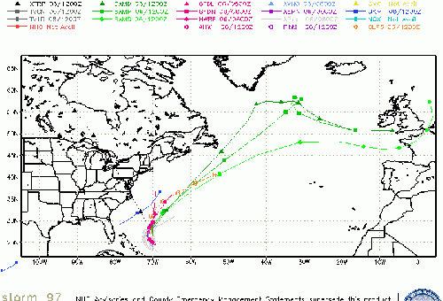
94L is meandering around, and likely won't ever fully develop, just a rain event for the areas there.
94L Event Related Links

SFWMD Model Plot (Animated Model Plot) SFWMD Hurricane Page
[https://flhurricane.com/floatanimator.php?year=2014&storm=10 Flhurricane Satellite Floater Animation of 94L
GOES Floater
Animated Model Plot of 94L
Clark Evans Track Model Plot of 94L
(Animated!) Model Plots in Google Earth - In Google Maps
Clark Evans Intensity Model Plot of 94L (Animated!)
Clark Evans Track Plot of 94L
Other Model Charts from Clark
Clark Evans Top 10 Analog Storms for 94L
More model runs on from RAL/Jonathan Vigh's page
NRL Info on 94L -- RAMMB Info
COD Atlantic Satellite View
Edited by cieldumort (Mon Oct 27 2014 08:24 AM)
 Threaded


