11PM EDT Update 12 August 2017
Invest 99L has, finally, become the long-ago forecast Tropical Cyclone it now is, TD8, and the title has been updated accordingly. - Ciel
Original Entry
With Franklin's ghost now exploring the Pacific, our attention turns to disturbances close to home that are showing some continued signs of development potential.
First, an area of weak low pressure centered offshore of the Volusia coast is expected to continue tracking generally north, and has a low chance of becoming a TD in the next 48 hours. While significant development is unlikely in the face of moderately strong northerly shear and proximity to land, the system could bring areas of heavy rains to portions of Florida, Georgia and South Carolina into the weekend, regardless of development.
Invest 99L, which is the very tenacious wave that we have been following for what seems like years, and at one time had odds of 80%, then down, then up, then down, is now up again. Models do not have a good handle on how this wave will interact with a nearby upper-level low, but shear has been relaxing some. Development sooner rather than later would tend to favor an earlier recurvature out to sea, and so seeing it get a name this weekend could actually be a good thing for interests along the east coast.

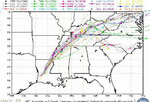
TD8 (EIGHT) Event Related Links

SFWMD Model Plot (Animated Model Plot) SFWMD Hurricane Page
[https://flhurricane.com/floatanimator.php?year=2017&storm=8 Flhurricane Satellite Floater Animation of TD#8
GOES Floater
Animated Model Plot of TD#8
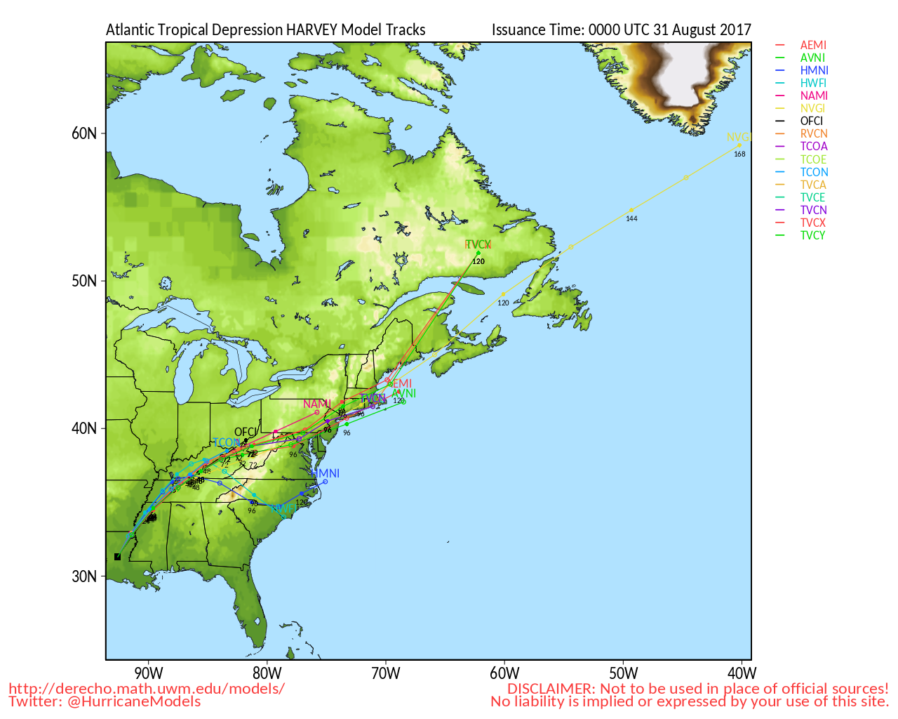
Clark Evans Track Model Plot of TD#8
(Animated!) Model Plots in Google Earth - In Google Maps
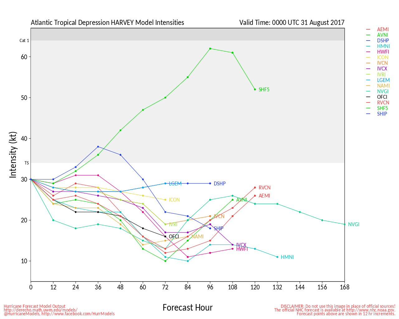
Clark Evans Intensity Model Plot of TD#8 (Animated!)
Clark Evans Track Plot of TD#8
Other Model Charts from Clark
Clark Evans Top 10 Analog Storms for TD#8
More model runs on from RAL/Jonathan Vigh's page
NRL Info on TD#8 -- RAMMB Info
COD Atlantic Satellite View
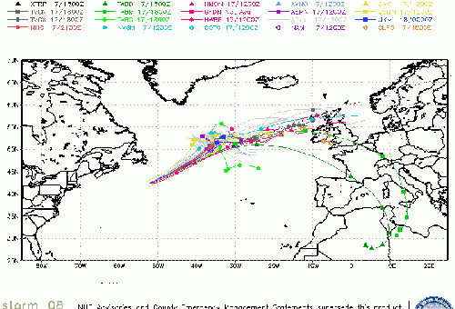
91L (Far East Atlantic) Event Related Links

SFWMD Model Plot (Animated Model Plot) SFWMD Hurricane Page
[https://flhurricane.com/floatanimator.php?year=2017&storm=9 Flhurricane Satellite Floater Animation of 91L
GOES Floater
Animated Model Plot of 91L
Clark Evans Track Model Plot of 91L
(Animated!) Model Plots in Google Earth - In Google Maps
Clark Evans Intensity Model Plot of 91L (Animated!)
Clark Evans Track Plot of 91L
Other Model Charts from Clark
Clark Evans Top 10 Analog Storms for 91L
More model runs on from RAL/Jonathan Vigh's page
NRL Info on 91L -- RAMMB Info
COD Atlantic Satellite View
Edited by MikeC (Sun Aug 13 2017 09:02 AM)
 Threaded


