Elsewhere,
A vigorous topical wave located several hundred miles southeast behind Irma is showing a little bit more cyclonic organization today, with increasing model support.
The persistent troffiness in the southwestern Gulf of Mexico has been showing some signs of wanting to develop again, now with more model support. This will likely not affect the directly, at least not in the near term, but it could have some influence on future steering currents downstream (and possibly Irma's track).
- Ciel
11:00 AM EDT 3 September 2017 Update
Irma is looking a little more ragged right now due to a little bit of dry air intrusion and it is moving WSW, it's a bit south of the 0z EPS model guidance so shifts may occur. I think the models are overdoing intensity in the long range, next up are the Caribbean islands which will likely see some of Irma (how much depends on the exact track, we could get watches starting late today or tomorrow)
Conditions are expected to get better for development east of the Bahamas, where the official forecast takes it very close to the Turks and Caicos at the end of the 5 day period, at this rate parts of the US may be in the cone starting Late Tuesday or Wednesday. Direct affects wouldn't likely be until Sunday or Monday (10-11thh), which means any final preps probably Friday or Saturday depending on where it goes.
Beyond 5 days it is still too soon to tell, the forecast lounge has more speculation and odds.
3:00 AM EDT 3 September 2017 Update
Irma now has a pinhole eye and looks to be undergoing a new phase of Rapid Intensification overnight. The 11PM Advisory had Irma at 110 MPH, but the most recent estimates suggest she could become Cat 4 as soon as later today.
In addition to become stronger tonight, Irma is also becoming larger. The larger and stronger she gets, and stays, the greater the surge potential, in addition to the widespread powerful winds. To be blunt, barring unforeseen obstacles, Irma may become a very high-end hurricane within the next 72 hours. Locations within her 5 Day Cone should be paying the closest attention, and prepare for the real possibility of devastating impacts.
-Ciel
5:00 PM EDT 1 September 2017 Update

Irma has completed an Eyewall Replacement Cycle, and has restrengthened from 110 MPH Cat 2 to now a 120MPH Major, with some continuing intensification noted, although possibly being tempered by somewhat lower SSTs and a touch of dry air in the immediate area. Modeling indicates that shear may be a little less ideal over the next few days, but it is still probable that Irma passes by or over the Leeward Islands as a solid Major.
More on Irma, including longer range model outlooks and discussion, can be found in the HUR Irma Lounge.
Elsewhere:
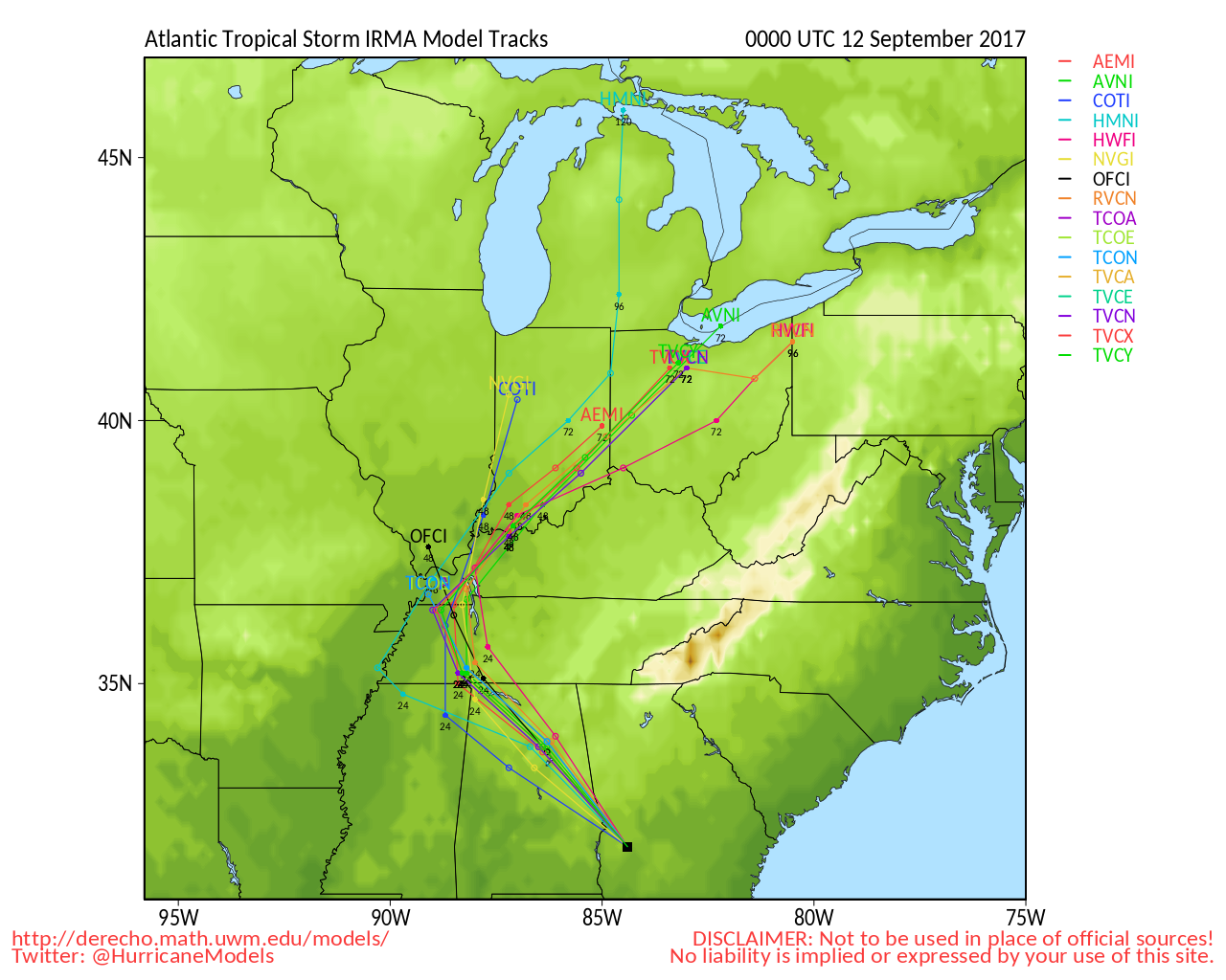
The remnants of Harvey, now centered near northern Tennessee, continue producing flooding rains and tornadoes. The damage being left in his wake has been nothing short of catastrophic.
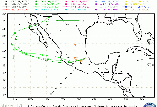
Lidia, an east Pac tropical storm, is running up the Baja of California, and is expected to produce some locations of flooding rains in southern Arizona this weekend, although not expected to cross into the US.
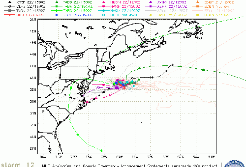
An area of low pressure is persisting in the southwestern Gulf of Mexico. Although has dropped this feature from their Tropical Weather Outlooks, it continues to be monitored. Regardless of tropical cyclone development, this type of setup can result in copious rains in the western Gulf. Possible New Development in Gulf
Last, a strong wave in the far eastern Atlantic continues producing disorganized cloudiness and showers. Conditions could become more supportive of development next week, and a Lounge is already up (Invest number not yet available). E Atlantic Tropical Wave
-Ciel
4:00 PM EDT 31 August 2017 Update
Irma is likely now a 115MPH Major, with T numbers solidly around 5.5 Now is the time to prepare if you are in her 5 day cone.
We are also monitoring a vigorous tropical wave presently located to Irma's southeast, which will probably be tagged Invest 94L soon. Also keeping an eye on a trof in the southwestern Gulf. Any addition rains in Texas and Louisiana would be unwelcome, to say the least.
-Ciel
Original Update
Harvey was the first Major hurricane to strike the US in the last 12 years, and likely the defining hurricane event for this decade. The rainfall is still occurring in Louisiana and Arkansas, and the effects of it in Texas and the other areas will be long lasting, with rivers continuing to rise even though the rain has stopped,. Unprecedented level of disruptions from Corpus Christi, Houston, Beaumont, Lake Charles, Baton Rouge, NeW Orleans, and places in between. Many horrifying and amazing stories have come out of the system, nobody in those areas will ever forget it.
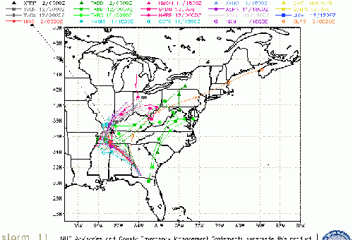
Meanwhile, the area known as 93L has formed to the first classic Cape Verde storm in quite a while, Irma, which is likely to become a hurricane later today. Although it's too far out to reliably say where it winds up, those in the Caribbean will want to keep watch of this one, and follow the projection trends. Beyond that it is worth watching as well. There is more discussion and speculation about it in the forecast lounge.
It is expected to keep moving just north of west for a bit and potentially bend back to the southwest starting Saturday, if it were to affect the Caribbean islands it would be likely near Wednesday based on current trends. If Irma affects the US the timeframe would likely be Sep 9-11
We'll keep watch, and and it is recommended you should you.
Additionally an area in the southwest Gulf is worth watching with a 30% chance to develop over the next 5 days.
StormCarib Reports from the Caribbean Islands
Caribbean Weather Observations
Barbados Brohav Weather Fax
Full Caribbean Radar Composite
Caribbean Broadcast Corporation (TV/Radio from Antilles)
San Juan, PR NWS Page
Various Caribbean Radio Stations
DR1 Dominican Republic Hurricanes
Irma Event Related Links

SFWMD Model Plot (Animated Model Plot) SFWMD Hurricane Page
[https://flhurricane.com/floatanimator.php?year=2017&storm=11 Flhurricane Satellite Floater Animation of Irma
GOES Floater
Animated Model Plot of Irma
Clark Evans Track Model Plot of Irma
(Animated!) Model Plots in Google Earth - In Google Maps
Clark Evans Intensity Model Plot of Irma (Animated!)
Clark Evans Track Plot of Irma
Other Model Charts from Clark
Clark Evans Top 10 Analog Storms for Irma
More model runs on from RAL/Jonathan Vigh's page
NRL Info on Irma -- RAMMB Info
COD Atlantic Satellite View
94L (East Atlantic Wave) Event Related Links

SFWMD Model Plot (Animated Model Plot) SFWMD Hurricane Page
[https://flhurricane.com/floatanimator.php?year=2017&storm=12 Flhurricane Satellite Floater Animation of 94L
GOES Floater
Animated Model Plot of 94L
Clark Evans Track Model Plot of 94L
(Animated!) Model Plots in Google Earth - In Google Maps
Clark Evans Intensity Model Plot of 94L (Animated!)
Clark Evans Track Plot of 94L
Other Model Charts from Clark
Clark Evans Top 10 Analog Storms for 94L
More model runs on from RAL/Jonathan Vigh's page
NRL Info on 94L -- RAMMB Info
COD Atlantic Satellite View
95L (Bay of Campeche) Event Related Links

SFWMD Model Plot (Animated Model Plot) SFWMD Hurricane Page
[https://flhurricane.com/floatanimator.php?year=2017&storm=13 Flhurricane Satellite Floater Animation of 95L
GOES Floater
Animated Model Plot of 95L
Clark Evans Track Model Plot of 95L
(Animated!) Model Plots in Google Earth - In Google Maps
Clark Evans Intensity Model Plot of 95L (Animated!)
Clark Evans Track Plot of 95L
Other Model Charts from Clark
Clark Evans Top 10 Analog Storms for 95L
More model runs on from RAL/Jonathan Vigh's page
NRL Info on 95L -- RAMMB Info
COD Atlantic Satellite View
Houston/Galveston Related Links:
Texas Emergency Management
Galveston area Storm Surge Map (pdf)
Webcams:
Surfside Beach Jetty Cam
Octogon View (Surfside Beach, TX)
Matagoria Beach Webcam
North TextVisual WebCam summary Page from HurricaneCity,com
Corpus Christi city Webcams
Media:
Houston Area:
Click2Houston/Local 2
KHOU
Galveston County The Daily News
chron.com
ABC13 KTRK
Houston Press
Corpus Christi:
KRIS NBC 6
KIII TV 3 ABC
MZTV 10 CBS
Corpus Christi Caller Times Paper
Power:
Center Point Energy Power Outages (Houston Area)
AEP Texas Outage map
>
- Lake Charles, LA Area Media and Information
kplctv 7 NBC Lake Charles
Fox 29 Lake Charles
American Press Newspaper Lake Charles
North Gulf Links
North Gulf/Southern Mississippi Valley Composite Radar Loop
(Latest Static)
East to West:
Mobile, AL Radar Radar Loop
(Latest Static)
New Orleans, LA Radar Radar Loop
(Latest Static)
Lake Charles, LA Radar Radar Loop
(Latest Static)
Houston/Galveston, TX Radar Radar Loop
(Latest Static)
Gulf of Mexico Satellite Imagery
Area Forecast Discussions:
Mississippi/Alabama/Pensacola -
New Orleans, LA -
Lake Charles, LA -
Houston/Galveston, TX
Texas Gulf Coast Links
[http://moe.met.fsu.edu/~mnissenbaum/radar.html Mark Nissenbaum's radar page}
East to West:
Houston/Galveston, TX Radar Radar Loop
(Latest Static)
Corpus Christi, TX Radar Radar Loop
(Latest Static)
Brownsville, TX Radar Radar Loop
(Latest Static)
Gulf of Mexico Satellite Imagery
Area Forecast Discussions:
Houston/Galveston, TX
- Corpus Christi, TX - Browsnville/South Padre Island, TX
Harvey Related flhurricane recordings
 Threaded


